SkySight Update

The season is starting for 2023, and we at SkySight have been hard at work to bring you some great new features to enjoy.
Models
The most important improvement we've been working on is the weather model itself. We are already pushing the limits of consuming all the input data available, and we already run in a very high resolution across all of Europe, so the scope for improvement is limited there. Where there is still room for improvement is in the assimilation and utilization of the data available.
Soil moisture is one of the most significant factors for Thermal forecasts, and yet, it's something that is very poorly considered across weather models. In hindsight this should not be so surprising, we think people fall in love with weather from looking up at the sky rather than below their feet, so sub-surface weather modeling is often an afterthought.
Unfortunately, a common way for National Weather Services to correct biases in their 2-metre temperature forecasts is to simply 'nudge' the soil moisture in their inputs a little higher or lower, using it as a dynamic tuning parameter. This looks great on validation of surface observations but leads to poor calculations of Thermal Soaring conditions.
This is further magnified when we take our initial conditions from National Weather Services, who have not run their forecasts in high resolutions and try and use them to start our weather models. While it only takes the atmosphere two hours for the air to adapt to our high-resolution terrain, with the wind flowing down new valleys and around new peaks, the soil and moisture contained within would take many years to reach a new equilibrium.
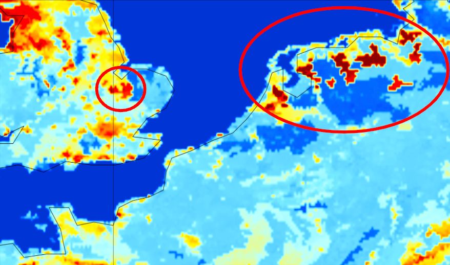
We observe the consequences of the above in poorer forecasts in mountainous areas and river valleys, which are either unrealistically wet or dry and particularly on the days after heavy rain where it is obvious that the weather models do not completely understand the influence of this wet surface on the weather above.
We decided this simply will not do for our users, and we have developed a complete standalone Land Surface Modeling system, taking the best available observations from the past two years and feeding them into our standalone high-resolution model. We update the model with new information before every forecast.
Now when we start our weather forecast, we have extremely detailed and up-to-date soil moisture and temperature maps, rather than the typically used coarse data from National Weather Services and we know it has not been 'tweaked' to achieve a better score against their neighbors, at the expense of soaring pilots.
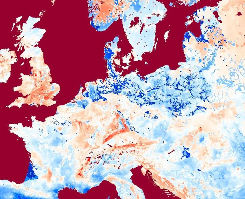
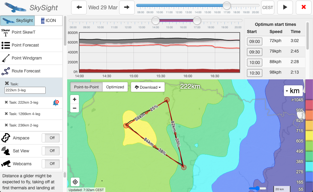
See below an example of the great increase in detail and definition, the Schwäbische Alb and Black Forest are now clearly defined, river systems across Poland pop out, and the Alps are no longer a homogenous blob.
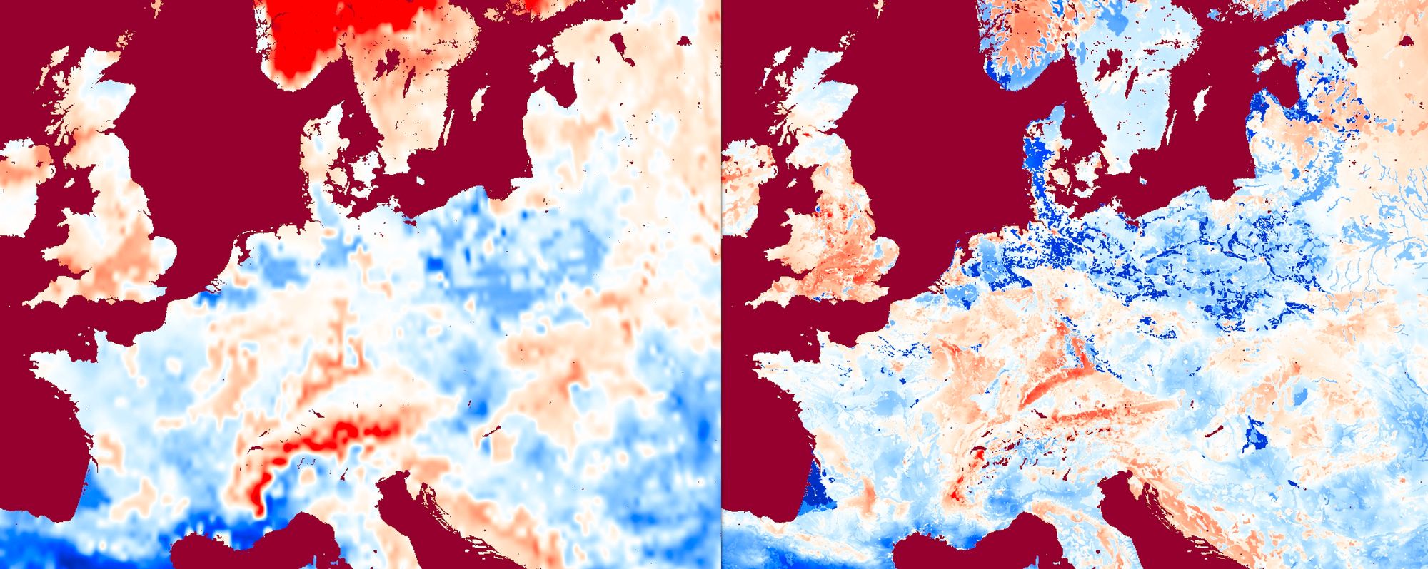
We hope, and we tested as much, that this will make an observable improvement in the forecasts, and cement us as the most advanced Soaring Forecast globally. We believe we are one of the only non-government models that run a full offline land surface model.
Alerts
You asked, and we listened - we have now implemented support for automatic Alerts when the soaring conditions reach your desired limits. No more anxiously checking your phone every few hours on Thursday to tell your partner if you will be at the gliding club on Saturday, we'll let you know directly.
You can now choose both a Potential Flight Distance above which you will receive an email, and also request notifications when your favourite task is possible, and how fast we think you might be able to complete it.
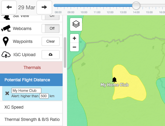
Alerts are available up to 3 days in advance, currently by email but we intend to also implement notifications directly on your phone or even smartwatch!
What's coming
For the last 5 years, everywhere except Europe has enjoyed real-time ultra-high-resolution satellite photos, which we have integrated not only into SkySight but also into our partner's devices (LX9000's and Oudies) and software (WeGlide).
This year Europe will catch up, with a new satellite already launched and coming online in the next few months. We will be amongst the first users of the new satellite and will be ready to share the imagery with you right away, and also use it to improve our forecasts!
We've really enjoyed pushing the limits of what is possible to deliver you these new features this year, we hope you will give them a try and write to us at skysight@skysight.io with feedback and further requests for improvements.
Our service is actively developed and we are always trying to make it better!
 Matthew Scutter